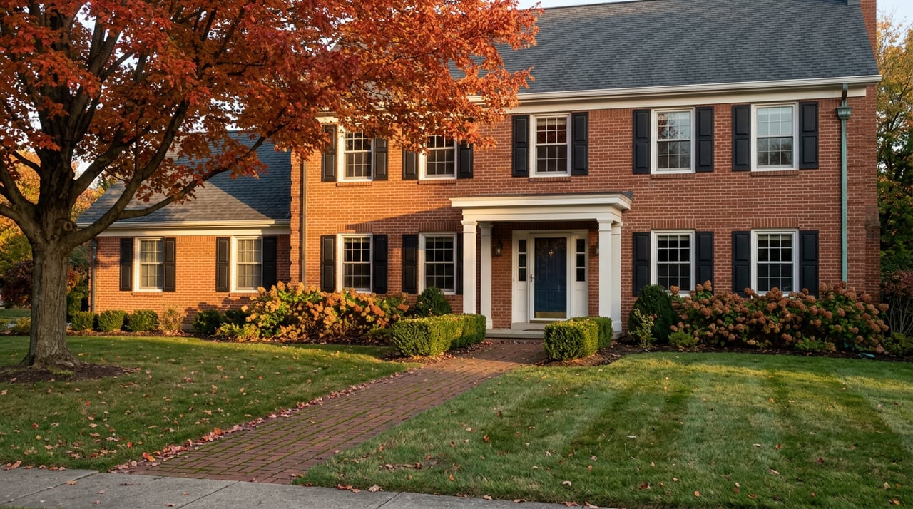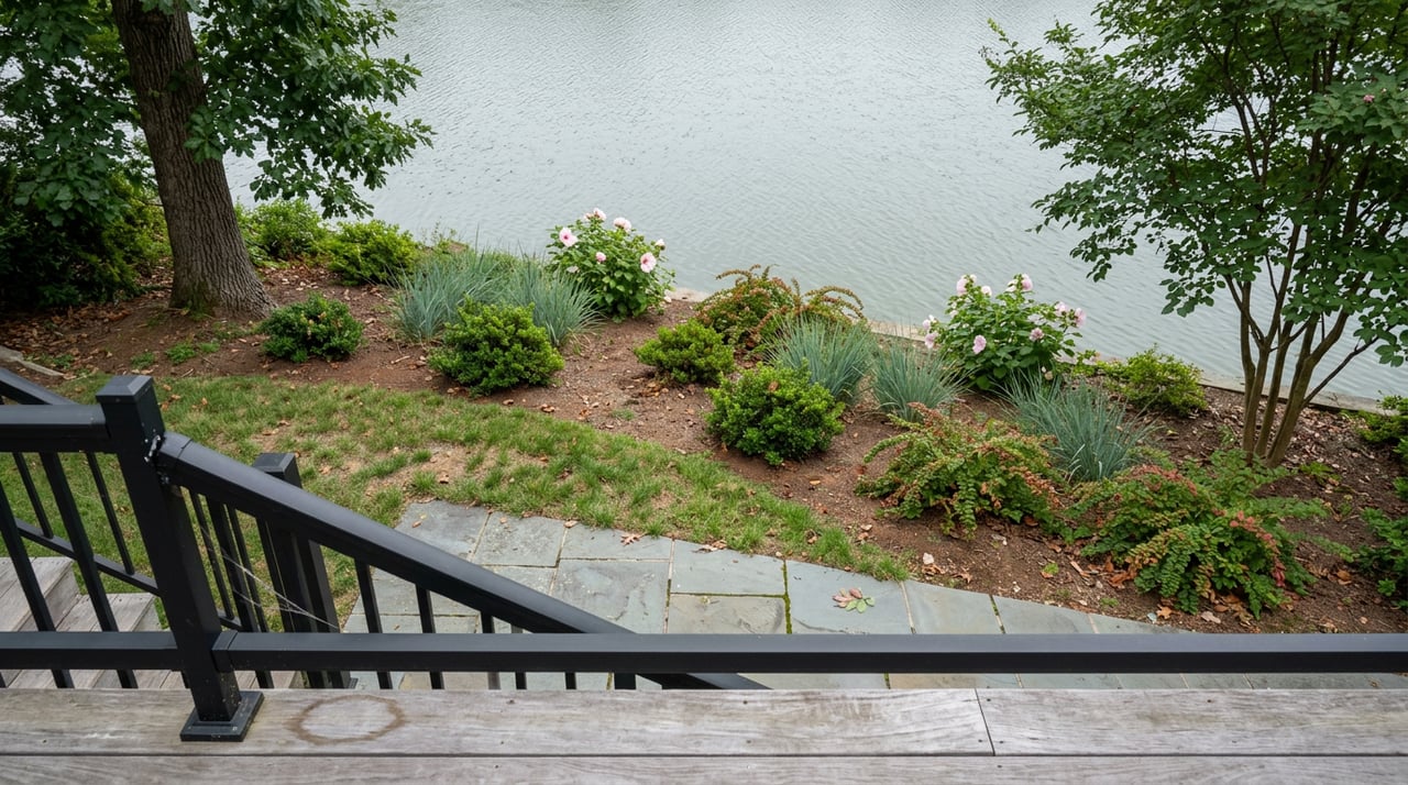
Buyers touring homes along the South River, the Severn, or one of the county's smaller tidal creeks tend to focus on what they can see: open water, a clear tree line, a spot where a dock might go. What most don't ask is what they'll be allowed to change once they own it. In Anne Arundel County, the answer is less than they expect, and the gap between what a buyer imagines and what the county permits is where waterfront deals get expensive, delayed, or both.
The county has more than 533 miles of shoreline, more than almost anywhere else in Maryland, which means more households than usual are living inside a regulatory zone most buyers have never heard of before they fall for a listing photo.
The 100 Feet You Don't Actually Control
Since 1984, Maryland has designated all land within 1,000 feet of tidal water or tidal wetlands as the Chesapeake Bay Critical Area. Anne Arundel County adopted its own version of that program in 1988, and it still governs nearly every waterfront and near-waterfront parcel in the county today.
Inside that 1,000-foot zone sits a smaller, stricter band: the Critical Area Buffer, a minimum of 100 feet landward from the mean high-water line, the bank of a tributary stream, or the edge of a tidal wetland. The county expands that buffer further when a lot has steep slopes, highly erodible soils, or land within 50 feet of a slope's top edge. On a lot with any grade at all, the "buffer" can easily swallow the flattest, most buildable part of the property, the part closest to the water a buyer actually wanted.
Anyone disturbing soil or vegetation in that buffer—through grading, clearing, building, or even replacing a section of lawn—generally needs county approval first, though ATG Title says invasive and noxious species can typically be removed without it. That approval isn't a rubber stamp. It's a Buffer Management Plan reviewed by the Department of Inspections and Permits, and for any disturbance over 5,000 square feet, a full grading permit on top of it.
Three Zoning Categories Nobody Explains at the Open House
Every parcel in the Critical Area falls into one of three classifications the county assigned decades ago, based on how developed the land already was as of December 1, 1985: Intensely Developed Area, Limited Development Area, or Resource Conservation Area.
That classification, not the buyer's plans, sets the ceiling on how much of the lot can ever be covered by house, driveway, patio, or shed. In Limited Development and Resource Conservation areas, the county caps impervious surface at 15 to 31 percent of the site, depending on the specific designation. A homeowner who wants a bigger garage, a pool deck, or an addition can run into that cap fast, especially on a lot where the buffer has already claimed the water-facing third of the property.
| Classification | What it generally means for a buyer |
|---|---|
| Intensely Developed Area (IDA) | Land already built out as of 1985; more flexibility for new impervious surface |
| Limited Development Area (LDA) | Partially developed; impervious surface capped, buffer still applies |
| Resource Conservation Area (RCA) | Largely undeveloped; tightest limits on clearing, grading, and coverage |
A buyer comparing two waterfront listings at the same price should ask which classification each one carries before assuming they're getting the same amount of usable land. They rarely are.
The Sunset View Nobody Gets to Clear For
The single most common reason Anne Arundel County waterfront owners run into buffer trouble isn't a new addition. It's trees.
The county's own zoning staff has said they field the same question several times a week: can I cut trees under four inches in diameter on my waterfront lot without a permit? The answer depends on the plant: invasive and noxious species can typically be removed, but other trees, shrubs, and vines require an approved Vegetation Management Plan, regardless of trunk size. Even a dead tree of a species subject to those requirements needs that approval before it comes down.
The clearest illustration goes back to a 1998 case, Citrano v. North. Property owners had already built a second-floor deck on steep slopes inside the Critical Area buffer, then applied after the fact for the variance they should have gotten first. Their stated reason was a view of the water to the west, so they could watch the sunset. Anne Arundel County's Board of Appeals denied the variance, and Maryland's Court of Special Appeals upheld that denial as supported by substantial evidence. Wanting a better view of the water was not, on its own, enough to overcome the buffer.
That ruling is 28 years old now, but the standard behind it hasn't loosened. A property owner seeking a variance today still has to show a unique physical hardship tied to the lot itself, irregular shape, unusual topography, not simply a wish for more clearing or more coverage. Financial considerations are explicitly excluded from that test by county code, and Citrano makes clear that wanting a better water view doesn't meet the bar either.
For a buyer, the takeaway is direct: the tree line, the sightline, and the cleared footprint you see during a showing are very close to what you'll be living with. Improving on it later is a legal process with a real chance of failure, not a landscaping decision.
What Sellers Should Resolve Before Listing
Legacy work is common on older waterfront lots. Decks, bulkheads, sheds, and cleared patches that predate current owners, sometimes predate current rules entirely, can sit undocumented for years without drawing attention. They draw attention during a sale, when a buyer's lender or title company starts asking whether existing improvements were properly permitted.
Sellers with any structure or cleared area inside the 100-foot buffer are better off checking its permit history before going to market rather than after an inspection flags it. Anne Arundel County has no automatic grandfathering for nonconforming uses. A use or structure that predates current zoning still has to be formally registered with the Office of Planning and Zoning as a Nonconforming Use or a Twenty-Year Registered Use. Skip that step and a seller can face a zoning violation, a denied building permit for the next owner, or a transaction that slows down while the issue gets sorted out mid-contract.
The Second Approval Buyers Don't See Coming
County rules are only the first layer for a subset of Anne Arundel's waterfront lots. Established communities built around the water, places like Cape St. Claire, layer their own architectural review on top of the county's Critical Area program.
The Cape St. Claire Improvement Association requires plans to go through its Building and Planning Committee before any construction, addition, fence, or alteration to a home's exterior can begin. That review exists independently of county permitting. A project can satisfy every county requirement and still get rejected, or delayed, by the association. Waterfront lots in the community also carry their own fence rules: 48 inches maximum on the side facing the road, 72 inches elsewhere, with specific setback requirements near the roadway.
A buyer moving into one of these communities isn't just learning the county's Critical Area program. They're learning a second rulebook layered on top of it. Asking a seller for a copy of any community architectural guidelines, and confirming whether a planned project has ever been submitted to that committee, belongs on the same checklist as any county-level due diligence.
Before Writing an Offer on Anything Waterfront
A buyer weighing a waterfront property in Anne Arundel County benefits from doing three things before falling too far into a listing's photos: confirm the property's Critical Area classification through the county's Office of Planning and Zoning, ask whether any existing deck, bulkhead, or cleared area was permitted, and find out whether the community carries its own architectural approval process on top of county rules. None of that shows up in a search filter, and all of it shapes what the property will actually let an owner do.
Frequently Asked Questions
Does every home near the water fall inside the Critical Area? If the property sits within 1,000 feet of tidal water or a tidal wetland, yes. That includes rivers, creeks, and any land under tidal influence, not just Chesapeake Bay frontage itself.
Can I remove invasive plants like English ivy from my buffer without a permit? Generally yes, invasive and noxious species can typically be removed, but native trees, shrubs, and vines cannot, regardless of size, without an approved plan first.
If I can't clear for a view, can I still build a dock? Water-dependent facilities like piers and docks fall under separate Critical Area provisions and their own review process. They are treated differently from clearing or building on land, and still require approval before work begins.
What happens if buffer work was done without a permit before I bought the home? Unpermitted work in the buffer can follow the property, not just the person who did it. A buyer should have this checked before closing rather than discovering it after a stop-work order arrives.
Anne Arundel County's waterfront lots carry real, durable appeal. They also carry a regulatory structure that rewards buyers and sellers who understand it before a contract is signed, not after a variance application is denied. If you're weighing a purchase or a sale on the water in Anne Arundel County, the Nancy Hulsman Group can walk through what a specific lot's Critical Area classification actually means for your plans before you make an offer or set a price. Book a consultation to start that conversation early.
This article is general information, not legal, tax or financial advice. Consult a qualified professional about your situation.